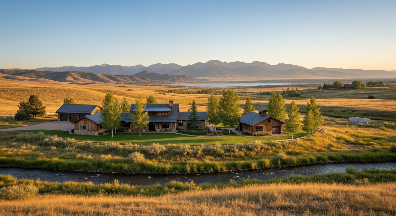
Selling rural property near Bellvue brings unique questions about rivers, roads, and wildfire. Buyers want clear facts they can see, not guesses. If you show accurate maps and diagrams up front, you reduce surprises, build confidence, and often move faster to closing. In this guide, you’ll learn exactly which maps to include, where to get them, and how to present them so your listing stands out for all the right reasons. Let’s dive in.
Why maps matter to buyers
Clear visuals turn risk into understandable information. Flood zones, base flood elevations, defensible-space zones, and driveway access all become easier to compare when you show them on a map or diagram. Proactive disclosure reassures buyers and their lenders, which can reduce re-trades and delays during due diligence.
Lenders look to FEMA flood maps to decide if flood insurance is required on federally backed loans. Insurers are also paying closer attention to wildfire risk and mitigation. By documenting facts, you make it easier for buyers to underwrite your property and move forward with confidence.
Floodplain maps: what to include
Buyers want to know if the structure is in a Special Flood Hazard Area and how your improvements sit relative to zones and elevation. Include these items:
- FEMA FIRM panel excerpt with the colored zones, panel number, and effective date, cropped to show your parcel.
- NFHL or county floodplain overlay to add local detail and confirm boundaries.
- Base Flood Elevation (BFE) context near the structure if available, along with the lowest adjacent grade.
- Building footprints and utilities labeled relative to zone boundaries, including septic and well if applicable.
- Any Elevation Certificate, LOMA, or LOMR with effective dates. Include complete scans.
When panels are updated, lenders use the effective map in force. If flood status could affect financing, consider getting an Elevation Certificate from a licensed surveyor before you list.
Where to get official data
- Use the FEMA Flood Map Service Center for official FIRM panels and effective dates.
- For interactive overlays and GIS data, see the National Flood Hazard Layer.
- Review the county’s GIS and flood resources starting at the Larimer County site. You can find parcel layers, county floodplain data, and recorded easements.
- For flood insurance context, share the NFIP flood insurance basics with buyers.
- For documentation needs, reference FEMA’s Elevation Certificate guidance.
Defensible space: show your work
Wildfire risk is part of life in the foothills around Bellvue. A simple defensible-space diagram helps buyers and insurers understand what’s been done and what remains.
Depict the standard zones and label key features:
- Immediate zone (0–5 ft): noncombustible landscaping near the foundation, clear gutters and roofs.
- Intermediate zone (5–30 ft): reduced vegetation, pruned trees, and removal of ladder fuels.
- Extended zone (30–100 ft or to the property line): thinning, spacing between crowns, removal of dead material.
Add the structure footprint, decks, woodpiles, propane tanks, driveways, gates, and any water supply points. Note the date and author. If a CSFS forester or qualified pro prepared it, include credentials. For best practices, follow the Colorado State Forest Service defensible-space guidance and the Firewise USA program. Avoid definitive claims like “fireproof.” Stick to verified actions and dates.
Access maps and notes buyers need
Rural access can make or break a deal. Map and describe both the legal access and the practical realities:
- Legal access: recorded easements, rights-of-way, private road status, and where public maintenance ends. Include references to title documents or plat maps if available.
- Road conditions: surface type, typical width, grade, winter conditions, and who plows (county, HOA, or private). Add any weight limits or bridge restrictions.
- Emergency access: turnaround space, clearances, and nearest paved road. Note the distance and typical travel time to emergency services.
- Utilities: show overhead or buried electrical lines, telecom drops, well head, and septic field.
Use a simple regional inset map to show the route from the nearest highway, then a parcel-scale map that labels the actual approach, gates, and any private bridge. Date-stamped photos of the approach and steep or narrow sections go a long way.
Bellvue and Larimer County context
Buyers in Bellvue often ask about the Cache la Poudre River corridor and nearby canyons. The 2013 Front Range floods reshaped local mitigation and mapping in Larimer County. If your property sits near the Poudre or a tributary, show current FEMA and county floodplain layers.
Wildfire also remains a real consideration. County-level guidance and community wildfire planning inform defensible-space standards in the wildland urban interface around Bellvue. Start with Larimer County resources for floodplain rules, wildfire mitigation information, and mapping tools, and consult your local fire protection district for property-specific advice.
How to present your packet
Clarity and consistency help buyers trust what they are seeing. Package your materials like this:
- High-resolution files: export maps as print-ready PDFs or PNGs at 300 dpi. Create both a printable packet and web-optimized images for your online listing.
- Standard map elements: include scale bars, north arrows, clear legends, and source captions such as “FEMA FIRM panel X, effective YYYY-MM-DD.”
- Annotations: label defensible-space zones with distances in feet, call out access gates and bridge limits, and note flood-related elevations only if supported by an Elevation Certificate.
- One-page summary: lead with flood status, defensible-space status, access notes, and suggested next steps for verification.
- Provenance and limitations: date every map and state its source. Include a simple statement that maps are informational and buyers should verify with surveyors, insurers, county offices, or their lender.
Verify before you list
Some documents are worth getting ahead of time because they speed underwriting:
- If structures appear in an SFHA: order an Elevation Certificate from a licensed surveyor.
- If you claim mitigation or certification: obtain documentation from a CSFS-qualified professional or your local program.
- If you believe the FEMA line misstates your risk: explore LOMA or LOMR options early, since lender determinations rely on effective maps.
For county rules, permitting, and floodplain development questions, start at Larimer County Engineering and Floodplain Management.
What not to do
- Do not alter official FEMA or county maps to hide boundaries. Use official maps as the base and add transparent annotations.
- Do not promise insurance availability or specific premiums. Insurers underwrite case by case.
- Do not omit known material facts. Follow Colorado disclosure requirements and consult your broker or attorney for the Seller’s Property Disclosure.
Seller checklist
Use this list to assemble a clean, credible packet:
- FEMA FIRM panel excerpt with panel number and effective date
- Larimer County floodplain map or GIS screenshot with parcel overlay
- Parcel or plat map showing boundaries and any recorded easements
- Defensible-space diagram with zones and distances labeled
- Access map with approach route, gates, bridges, and maintenance responsibility
- Any Elevation Certificate, LOMA/LOMR letters, or floodplain permits
- Any wildfire mitigation certifications or inspection letters
- Date-stamped photos of the approach, driveway, structure elevation, and nearby vegetation
- One-page summary of key facts and suggested verification steps
- Contact info for county floodplain staff, local fire authority, and county road/public works
Final word and next steps
When you present flood, fire, and access details the right way, you help buyers and lenders say yes with confidence. The result is fewer surprises, stronger offers, and a smoother path to closing. If you want help gathering the right maps and packaging them for your Bellvue listing, our local team can coordinate the details and keep your timeline on track.
Ready to position your property with clarity and confidence? Schedule a free consultation with At Home Realty and let’s get your packet market-ready.
FAQs
Is my Bellvue home in a flood zone?
- Check the official FEMA FIRM panel and Larimer County floodplain layer, note the zone designation, and include the effective map date. Lenders may require flood insurance in SFHAs.
Can I get flood insurance on a Bellvue property?
- Flood insurance is generally available through the NFIP nationwide, but pricing varies. Share the NFIP basics and recommend buyers get quotes from an insurance agent.
What is defensible space for wildfire risk?
- Use the 0–5 ft, 5–30 ft, and 30–100 ft zones from CSFS and Firewise guidance. Show which steps are complete and what remains in your diagram.
How do I document year-round access?
- Map the legal route, note road surface, grade, winter maintenance responsibility, any bridge limits, and include photos of narrow or steep sections.
Do I need an Elevation Certificate before listing?
- If flood status could affect financing or insurance, an Elevation Certificate from a licensed surveyor is often the right next step. It clarifies BFE and structure elevations for buyers and lenders.